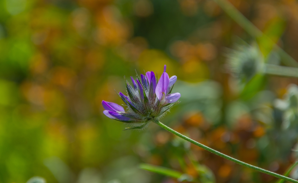
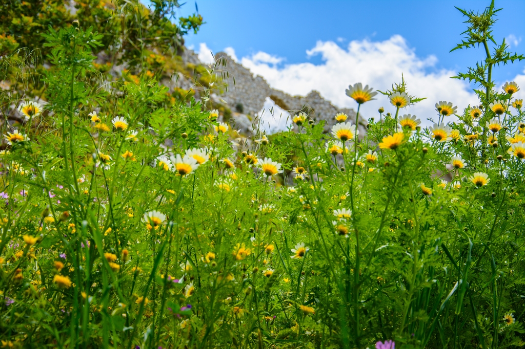
The slopes of the Anaglyphs formations is overgrown with olive crops in particular, who have in recent years gradually replace the intense viticulture of the region.
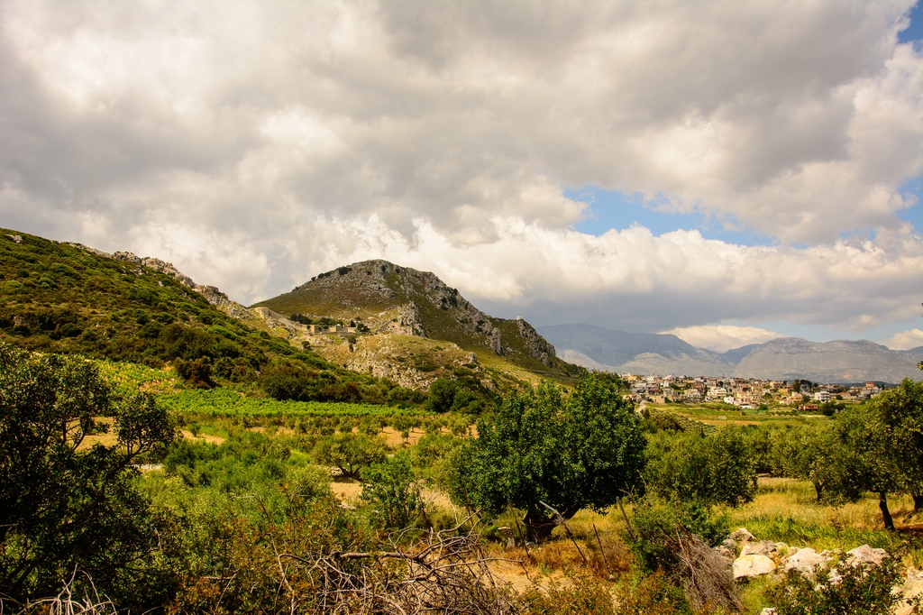
Giofyros or river Diakoniaris against locals, crosses from the East and South to the northern border region of the municipality, creating deep valleys where the banks of being the richest vineyards and olive groves in the region. The passage of the River from the Rocky "gateways" to the West of the Prophet Elijah and Tsaggaraki forms a beautiful natural landscape and water that is trapped in the waterfall forms a natural barrier against the older times today-ereipwmenoys-fed mills in place of Platani. Crowd from natural sources still favored by the prehistoric times the habitation and exploitation of the area. Most of these were connected with the existence of settlements, elaborated in fountains, punctuated by legends and facts of the place.
In the Vitsila area, near the ancient Lykastos cave is located in the Kellia (Cells) of Diakos devotional Cave of Minoan times (Paul Faure, Holy caves of Crete). Hideaway monk during the early 20th century, an ideal living space and breeding of arkalos (mammal that is found only on Crete).
The European hiking footpath E4 passes through the area of the municipality of Temenos, coming from Arhanes via Vathipetro, Saint Anna, Karnari, Vitsila (Lykastos), Kanli Kastelli, tributary of Giofyros, Kiparisi and continues for Venerato at Malevizi. Marked with signs and has been logged in any modern map. One can walk comfortably in collateral paths of the river of the Giofyroy (Gorge), behind the Rocket in Roukani, Karkadiotissa, Astratigos Church Monastery and then in epanosifi monastery.
The area of the municipality of Temenos because of particular natural beauty are suitable for browsing with mountain bike (mountain bike).
The steep slopes of Roka opened climbing routes (from the side of the housing), moderate difficulty. Information about climbing the visitor can find the navigation and climbing guide-Aqsa, who lives in Kanli Kastelli (Tel. 2810871239).